HCOVG logo
  • Software Home
    • RodHome..
  • Premium software
    • GEOrient
    • GeoCalculator
    • Purchase
    • Installation, etc
  • GIS Tools
    • GeoQSymbol for QGIS
    • GeoMapSymbol for Mapinfo
    • GeoMapVector for Mapinfo
    • PolyNodeExtractor for Mapinfo
  • Other Software
    • Strain & Shear Calculator
    • Ghoshflow
    • GeoFryPlots
    • Teaching animations...
  • Contact me
Rod Holcombe logo
  • Software Home
    • RodHome..
  • Premium software
    • GEOrient
    • GeoCalculator
    • Purchase
    • Installation, etc
  • GIS Tools
    • GeoQSymbol for QGIS
    • GeoMapSymbol for Mapinfo
    • GeoMapVector for Mapinfo
    • PolyNodeExtractor for Mapinfo
  • Other Software
    • Strain & Shear Calculator
    • Ghoshflow
    • GeoFryPlots
    • Teaching animations...
  • Contact me

GeoCalculator

GeoCalculatorscreen image

GeoCalculator©

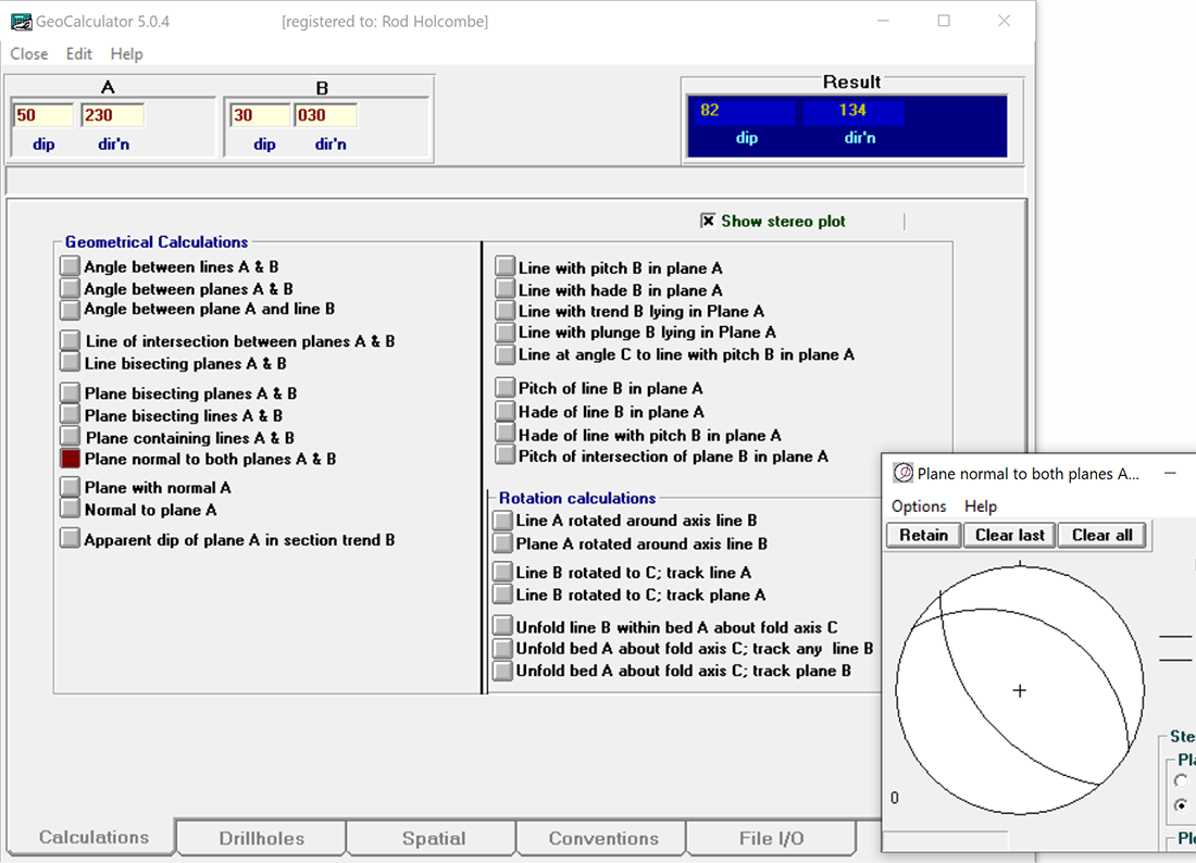
is based on the familiar Windows Calculator but takes geological structural data for input and output. Calculations include most common structural geometrical calculations as well as drillhole calculations for oriented, partially oriented, and unoriented core.

- see bugfix history for the most recent changes.
Purchase...
Buy now with PayPal
Download...
Installation..
Registration...
Licenses...
Academic use...
Disclaimers...

What it does
  • GeoCalculator [enlarged screen shot ] accepts and outputs structural data using a wide variety of formatting conventions for referencing lines, planes, and directions in geological space. Because input and output conventions can be set separately, GeoCalculator can be used to convert file data from one geological orientation convention and format to another.
  • Calculation results are displayed instantly in the Results window, and results can be displayed in a simple stereographic projection.
  • As well as instantaneous manual entry, batch data can be either pasted or read from Input files with no special requirements as to file formatting or data arrangement.
  • Oriented drillhole calculations [screen shot] include not only the commonly used oriented core calculations, but also calculations for partially oriented core where a known local structural feature in unoriented core is used as a proxy for the orientation mark in oriented core. Thus oriented core marks can be extrapolated to unoriented sections of the same core, or old unoriented core can be processed as if it were oriented. (When ambiguities in this calculation occur the choices are output for manual selection). [ Download manual for oriented drillcore procedures ].
  • Drillhole calculations also allow the output of apparent dips in nominated section planes.
  • Conventions settings also include pre-setting terms used to describe structural features with variable international terminology. Most importantly this includes the terms used for describing oriented core angles, which vary widely from company to company. These can be preset to the local usage.
  • GeoCalculator (from v4.9) is both locale aware and flexible with respect to decimal (floating point) numbers. Decimal numbers can be entered using either period or comma decimal delimiters (even mixed) and will output to either format on demand.
  • Important Notice: There is a restriction on how unregistered users access some drillhole calculations and a limit on the number of data that can be input from file. (Paid registration removes these restrictions).
  • Download the compiled Help file for specific details. As part of Microsoft's security measures you now have to Unblock the .chm file in order view it. This site explains the procedure...

Notes
  • The software is specific to Microsoft Windows. (It may install and run under Windows emulations on Macs, although Help links within each application will not work).
  • GeoCalculator opens initially in its unregistered form, displaying an unregistered notice and inviting registration. The unregistered program contains all the features of full registration except that the number of data that can be batch processed by file Input/Output is strongly restricted. Registration (paid) removes this restriction.
  • * ACADEMIC USE: GeoCaculator packages can be used freely in their unregistered form by academics (teachers and students) for teaching and non-commercial research purposes, but please acknowledge the author in any publication or figure arising from its use. However, academic users who wish to remove the batch processing restrictions must also purchase registration.
  • For commercial users the unregistered download version can be used for evaluation purposes only, and must be registered for continued commercial use after a reasonable evaluation period that must not exceed two months.
  • Although every effort is made to rectify bugs as they are recognised, the author cannot guarantee that these packages are without error, and assumes no responsibility for their use, or for interpretations based on their use.
  • Frequent field work commitments may occasionally delay my ability to handle email queries promptly

Download:
GeoCalc32_v5x.zip
Zip file (.zip) containing the full set of installation files for the current version of GeoCalculator [~6.5 MB]. Version 5 is loaded and run independently of any previously loaded version; It does not replace v4.X, although it does inherit many of the old version settings, including your registration status, which remains valid for this version.
GeoCalc32_v5x_exe.zip is a zip file containing the the .exe file alone. Use this if you had previously installed v5.0 and wanted to avoid downloading and reinstalling the full set of installion files. Replace the older GeoCalc32_v50.exe file with this one. [The .exe file normally resides in a GeoCalculator folder under the Windows\Program Files (x86)]


Download the bugfix history (.txt file)
GeoCalcHelp.chm Compiled HTML Help file for GeoCalculator [1.45 Mb]
This file is downloaded as part of the full GeoCalculator installation above, but it can also be downloaded from this link, and run independently. Open with Microsoft Edge (Internet Explorer) if it won't open directly by double clicking.
Note 1: The integrated Help menu in GeoCalculator will also not work unless your system has been set up to read .chm files, as described to the right.
Note 2: As part of Microsoft's security measures you now have to Unblock the .chm file in order view it. This site explains the procedure...
This link is to another site that discusses the issues with viewing .chm files across networks.

  © Rod Holcombe 2021         [Based on a free web site created at Weebly]